Field boundaries or GPS walk
Prepared to our sampling protocol so the result reflects the block, not the handling.

Agricultural service
Satellite and drone mapping with yield and stress analytics.
Accredited quality system
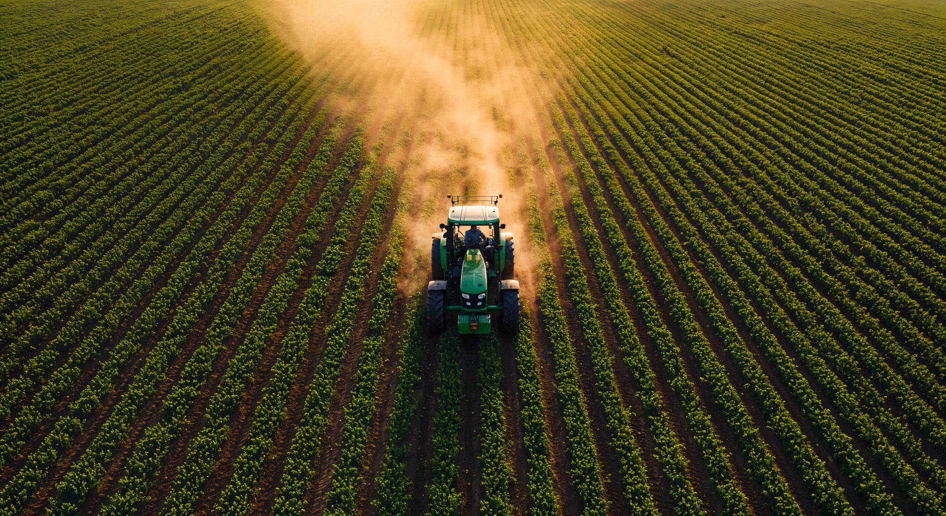
Results in Onboarding in 7 days
From $4 per hectare per season
Onboarding in 7 days
Turnaround
$4 per hectare per season
Indicative price
5
Workflow stages
9
Field regions covered
What we do
Season-long monitoring combining satellite indices, drone flights and ground truthing to produce variable-rate prescriptions, stress alerts and yield forecasts.
Prepared to our sampling protocol so the result reflects the block, not the handling.
Prepared to our sampling protocol so the result reflects the block, not the handling.
Prepared to our sampling protocol so the result reflects the block, not the handling.
How it works
Handled by our agronomy and laboratory team with full chain-of-custody.
Handled by our agronomy and laboratory team with full chain-of-custody.
Handled by our agronomy and laboratory team with full chain-of-custody.
Handled by our agronomy and laboratory team with full chain-of-custody.
Handled by our agronomy and laboratory team with full chain-of-custody.
Related services
Ready to get started?
Tell us the crop, hectares and timing — our agronomists will confirm sampling and turnaround.